Hot on the heels (in a kind of way) of yesterday’s chart/map conversation, I thought I’d reveal that I like maps. My favourite kind of land-based map is the OS Landranger. Not Landrover. That’s something completely different. I’ve been reading maps since I was a sprog. Because of my familiarity with maps, when I did my Bronze Duke of Edinburgh at school I was put in charge of getting my team through the checkpoints on time, in case we had any invigilators waiting for us. Similarly, during basic training in the RAF, when we did our route march halfway through our survival training, I was given a map, compass, and three sets of coordinates and set times which I had to get my flight through.
So in a not very serious kind of way, I thought I’d share a few of my favourite maps as collected from the Internet.
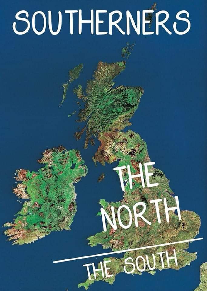
I like this one. It’s an accurate (!) portrayal of how people in the South of England view the reset of the UK:
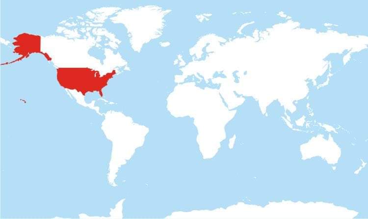
Here’s another one I like a lot. It’s a map of all the countries in the world who write their day/date/year backwards (or, to look at the white areas, it’s all of the countries in the world who don’t write their day/date/year backwards):
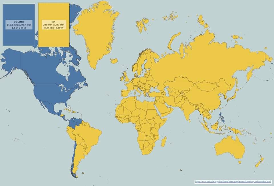
On a similar theme to that map, this one shows in yellow all the countries in the world who use A4 as their standard paper size. The countries in blue are just messed up, obviously:
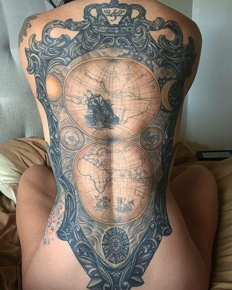
And finally, here’s a photograph of someone who has a far greater dedication to cartography than I (ouch!):
America always has to be
differentwrong, don’t they?And why would any woman get a map tattooed on her body?
Unless it’s to help lead us men to the clitoris…
The clyt, clitou, clitoris? What’s that then?